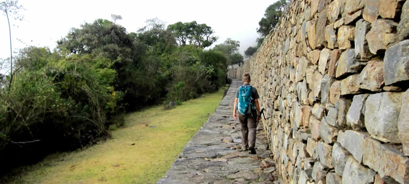
Inka Trail
Cusco machupicchu The Inca road system called Capac Ñan (beautiful road or Great Inca road) it was the most extensive and complex ancient system in the new world. It is believed that this main road built it by the Incas was the main net work system that connected the four cardinal points in this part of the world. This sacred road was also part of the Inca empire high way of the Tawantinsuyo (the empire of the four corners). Chinchaysuyo (the north region, Contisuyo ( the south region), Collasuyo (the west region) and then the Antisuyo ( the east region )ending in the jungles of the unexplored Amazon.
It use to run from south to north and from west to the east parts of the Andes with several primary and secondary roads that were connecting several sacred places, Inca cities, shires and administrative places as well military stations. All of them with great scale, beauty and functions, providing also all kind of sources for the people, helping the redistribution and spreading around the messages of the Incas, carried by Inca runners who where coming from the capital Cusco. The Capac ñan was a great web and work system with all the communication well organize with imperials and government messages and member in duty, used by the Inca people .In this way the Incas achieve a well organize empire and only with one language, one religion and one culture ,The Inca culture.

The Qapac Ñan
Inca Trail to Machu picchu: The Capac ñan covered a distance of over 40 thousand kilometers of primary and secundary roads made it by the Incas or added to their sistem from preInca civilizations and over 3000 kilometers long in a territory filled with one of the longest mountain range called the Andes over 9000 kilometers long, one of the densest jungle in the world the Amazon and one of the dries places in the world the dessert of Peru and Atacama. With elevations in between 100 to 5000 mts providing access to different ecosystem and territory estimates in over 5,000,000 square kilometers of territory, where the Incas built and crossed mountains valleys rivers and glaciers. The main road of the Incas was also beginning in the great capital of the Inca empire Cusco or Qosqo (navel of the world). According with the evidence found in this capital. There was the four main roads beginning in the sacred plaza of Aukaipata in the heart of the Inca capital city and used to go to the four directions of the empire ending in the places like the jungle and the high plateau of the Andes. Others covering valleys and then deserts ending close to the ocean.
It went in to places like Ecuador and Colombia in the north .as well to places like Bolivia, Argentina and the deserts of Atacama in between Peru and Chile. To access to those Inca roads it was mandatory to get permissions because many of f those Inca roads were used by members of the high classes and soldiers as well many representers of the government in duty. In some bridges taxes where charged as well many messagers were running through stations to deliver the messages that were connecting the different places.
Inka Trail Machu Picchu
The most spectacular and scenery road is found near Cusco that connects some sacred cities like Machu picchu, Choquequirao, Vilcabamba, Vitcos, Espiritu pampa as well Sacred mountains called Apus like the Mythic Ausangante (6384 mts) and the Salkantay (6221mts).Finally some of those Inca trails are connecting communities in the area of Lares and the sacred valley ending some of the in the jungles of the department of Cusco.


